The good folks at the Cleveland Memory Project at Cleveland State University have digitized another gem, Cleveland's Forgotten Freeways.

Of note is the Lee Road Freeway, which would have gone right through our house. It can be seen in bold on this map of the greater Cleveland area.
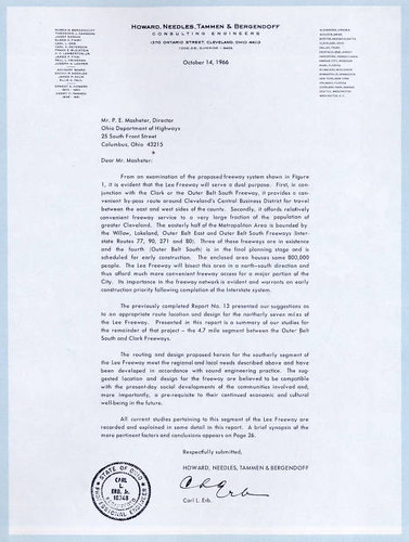
The introductory letter, dated 4 October 1966 states: The suggested location and design for the freeway are believed to be compatible with the present-day social developments of the communities involved and, more importantly, a pre-requisite to their continued economic and cultural well-being in the future. Read: it'll make it easier to flee to the exurbs.

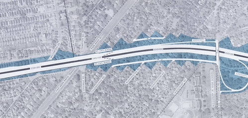
Another part of this massive highway plan, the Clark Freeway, brought the surrounding communities together in opposition. The freeway, shown in bold above, would have cut right through the center of the Shaker Lakes, ruining this last vestige of nature in the adjoining inner-ring suburbs, Cleveland Heights and Shaker Heights.
In this map, one can see the freeway over what would have been the former location of our house, and to the right, the interchange over one of the Shaker Lakes.
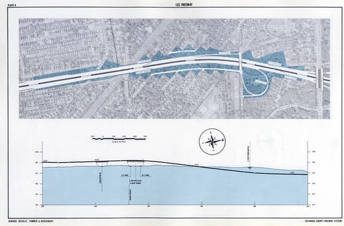
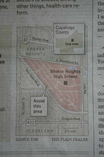
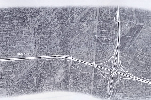
This detail map shows more clearly the exact route through my neighborhood. It would have destroyed the walkability of the community. Note the presence of the off-ramp dropping all that traffic right in front of the junior high (now elementary) school. This is a community where the kids walk to school. What the heck?
There was an alternate route that was also offered and which wouldn't have involved the demolition of our house. Here's the detail map. See. Not quite so awful. We'd just be living right next to the freeway. That's what this neighborhood needs, after all. Nevermind that we have better access to light rail service than any other community in the greater Cleveland area.
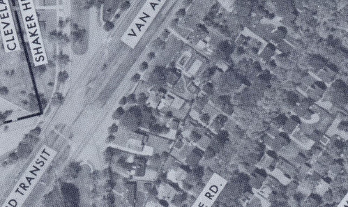
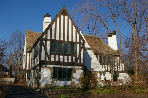
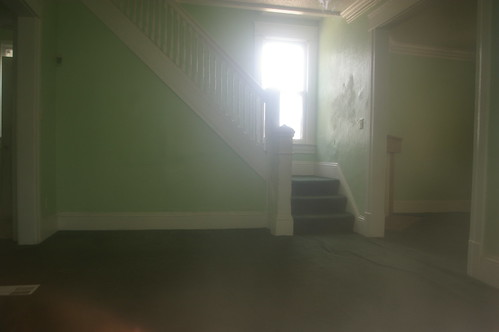
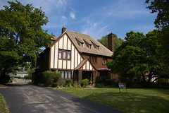
To me the most interesting part of the alternate route is the aerial photograph of my house. It seems that our driveway and our neighbor's driveway, which are shared, had a fence between them at the time. Also, our patio wasn't quite so big.