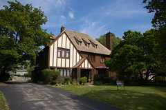
I just learned that a collection of thirty historic maps of Shaker Heights has been made available through the Cleveland Memory Project at Cleveland State University. The maps were digitized by Walter Lesch, as part of his practicum for his graduate degree in Library and Information Science at Kent State University.
These maps provide many insights into the history of Shaker Heights in the early 20th century. A few were previously available elsewhere, but involved the use of inconvenient plugins. I congratulate Mr. Lesch on his effort.
Subscribe to:
Post Comments (Atom)
2 comments:
Those are pretty cool. I might have to get a full size of one or two of those printed out from the CSU Digital Production Unit. Would be great for an office or den.
Hey-My husband talked to a distant cousin who lives in Shaker Heights.
He said that we would love it!
- The Sycamore Hole
Post a Comment